Pergamon | Türkei2014

Pergamon | Türkei

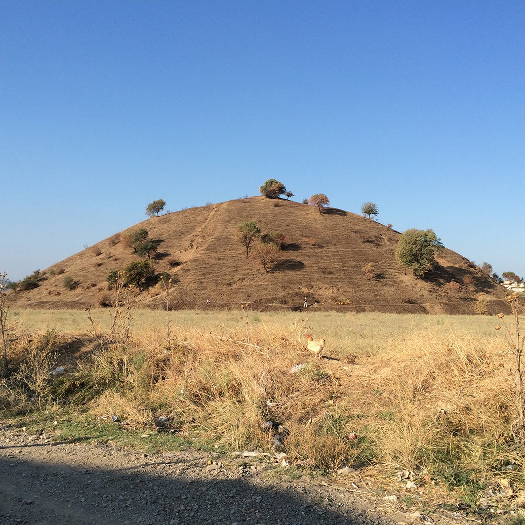
Untersuchung des strukturellen Aufbaus des pergamenischen Grabhügels Yığma Tepe mit Hilfe seismischer Methoden.

Mecking, Rebekka & Meinecke, Matthias & Erkul, Ercan & Bolten, Andreas & Driehaus, Birte & Pirson, Felix & Rabbel, Wolfgang (2020): The Yığma Tepe of Pergamon: stratigraphic construction of a monumental tumulus from seismic refraction measurements. Archaeological Prospection 27. doi:10.1002/arp.1762
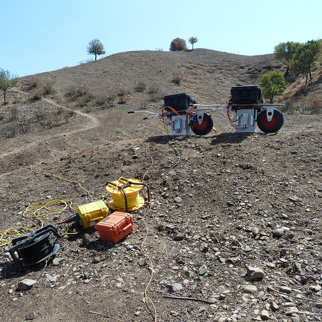
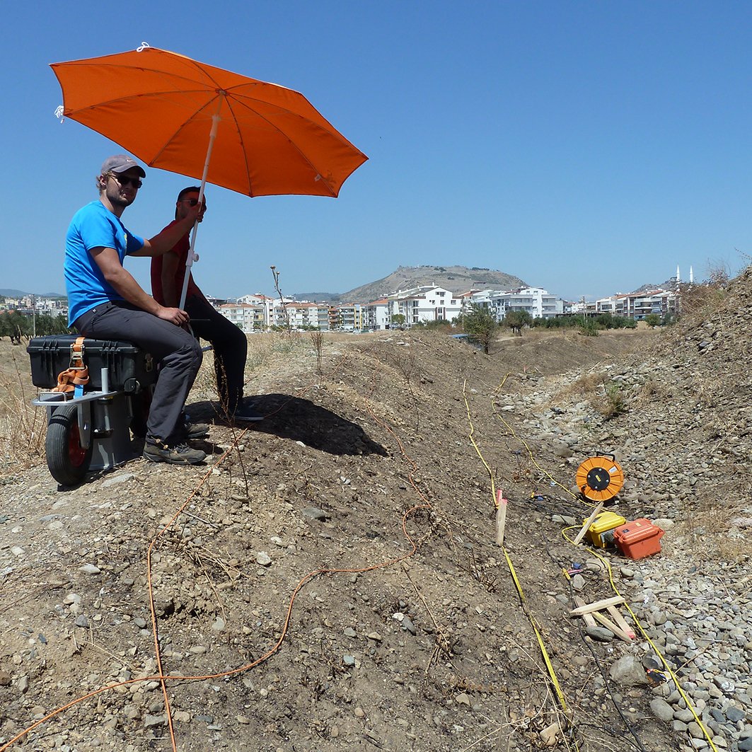
Pergamon | Türkei

Quelle
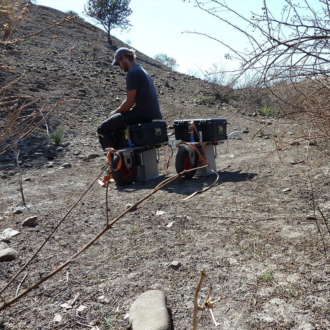
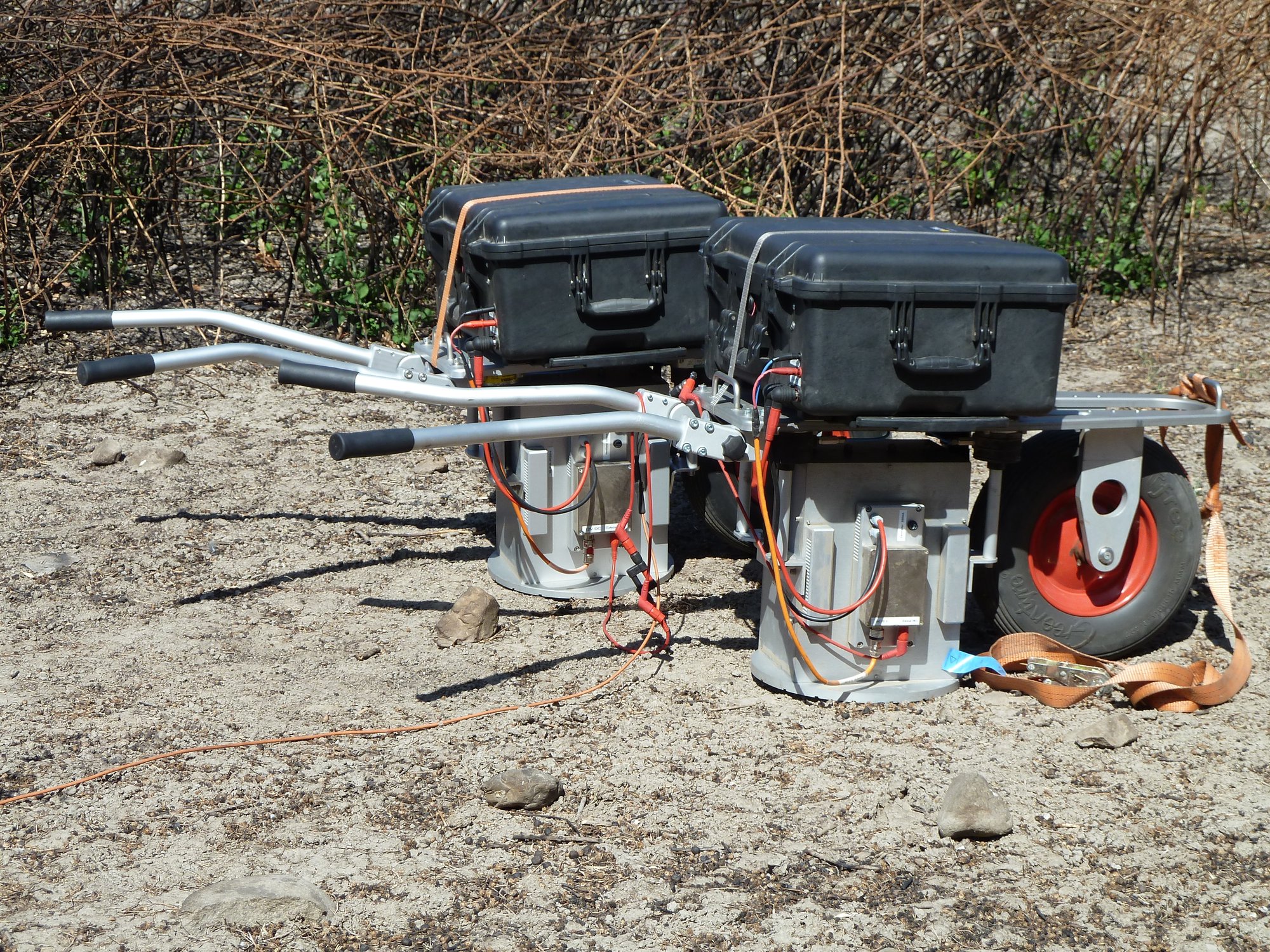
Zwei parallele ElViS III P
Empfänger
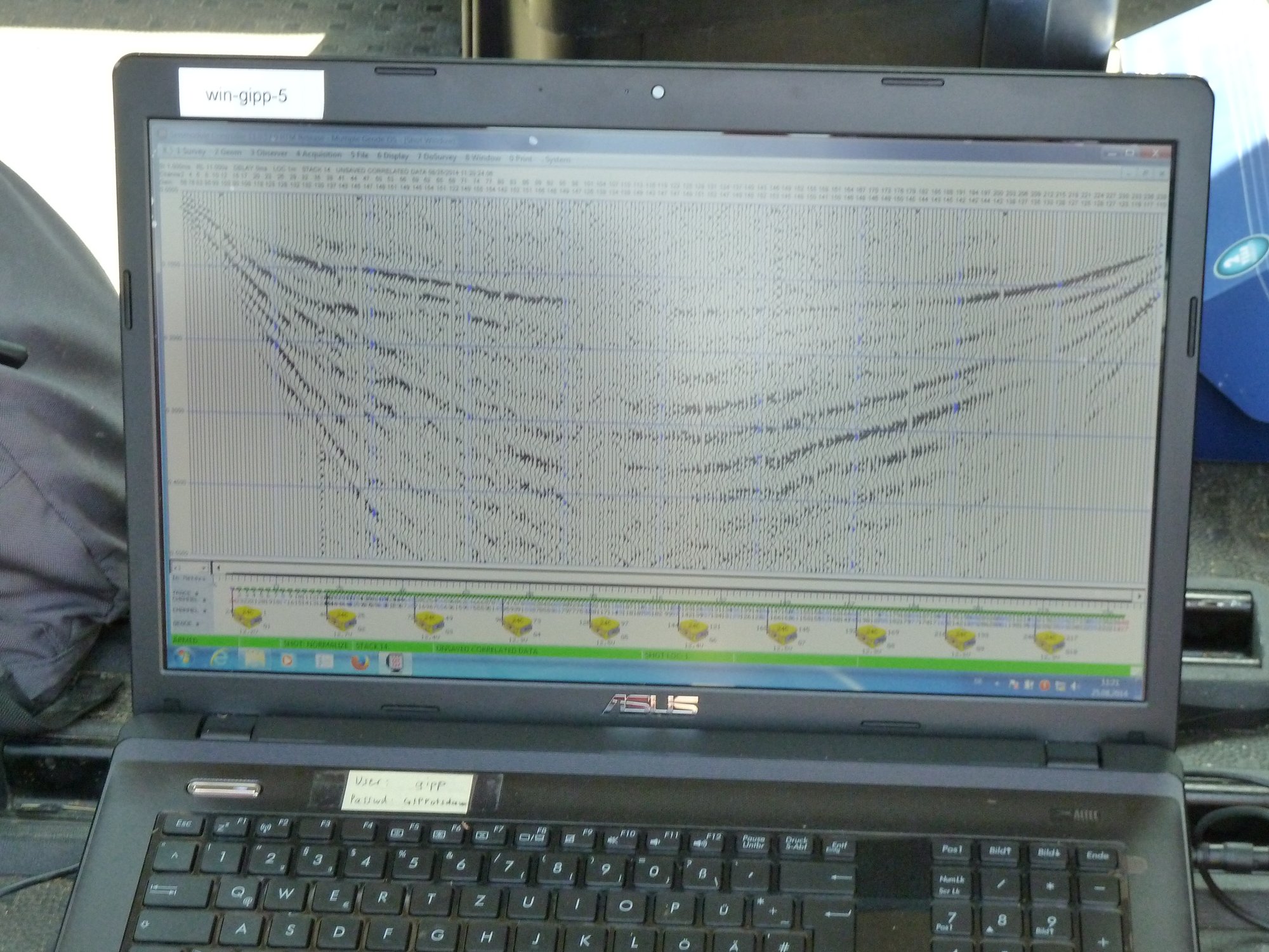
Gesteckte P-Geophone, bis zu 240 aktive Kanäle, 2 m Geophonabstand
Zieltiefe
Tomographische Untersuchung des Grabhügels. 32 m hoch, Umfang ca. 500 m (Publikation zu einigen Daten: Mecking et al. 2020)
Dauer
14 Tage
Anzahl der Profile
2 Profile
Profilmeter
Insgesamt ca. 700 m
Pergamon | Türkei – Geosym Foto 1 Pergamon | Türkei – Geosym Foto 2
Pergamon | Türkei – Geosym Foto 3 Pergamon | Türkei – Geosym Foto 4 Pergamon | Türkei – Geosym Foto 5 Pergamon | Türkei – Geosym Foto 6